Biodiversity Mapping
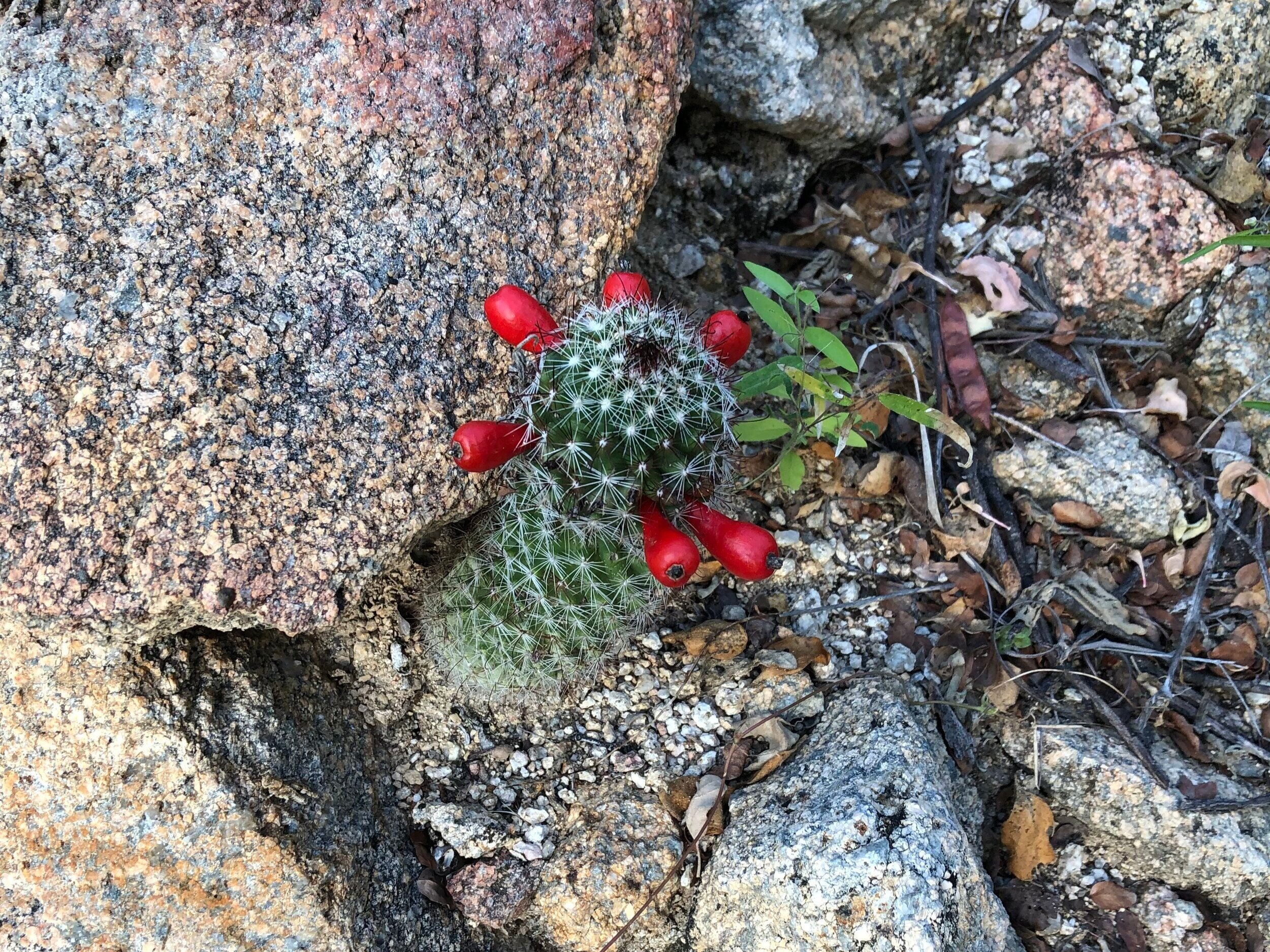
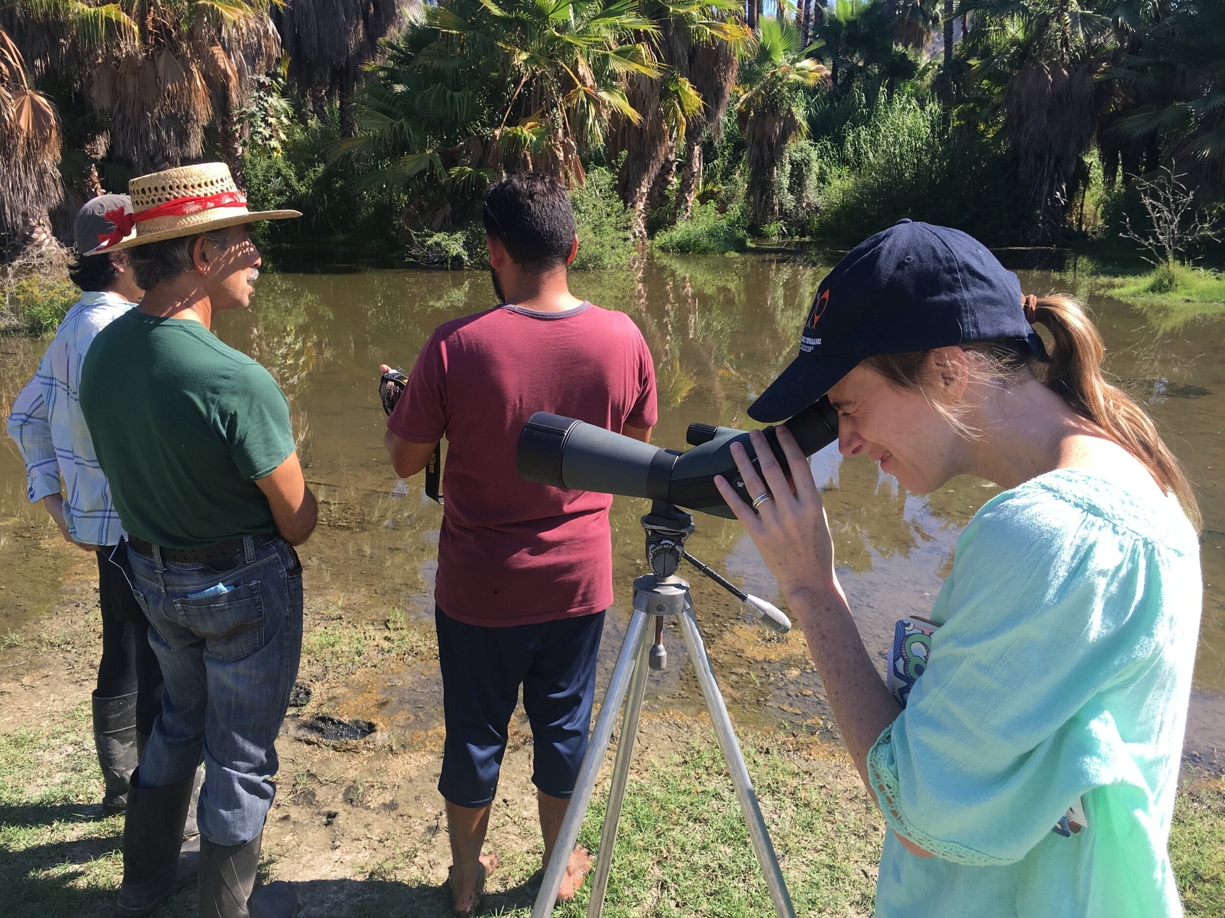
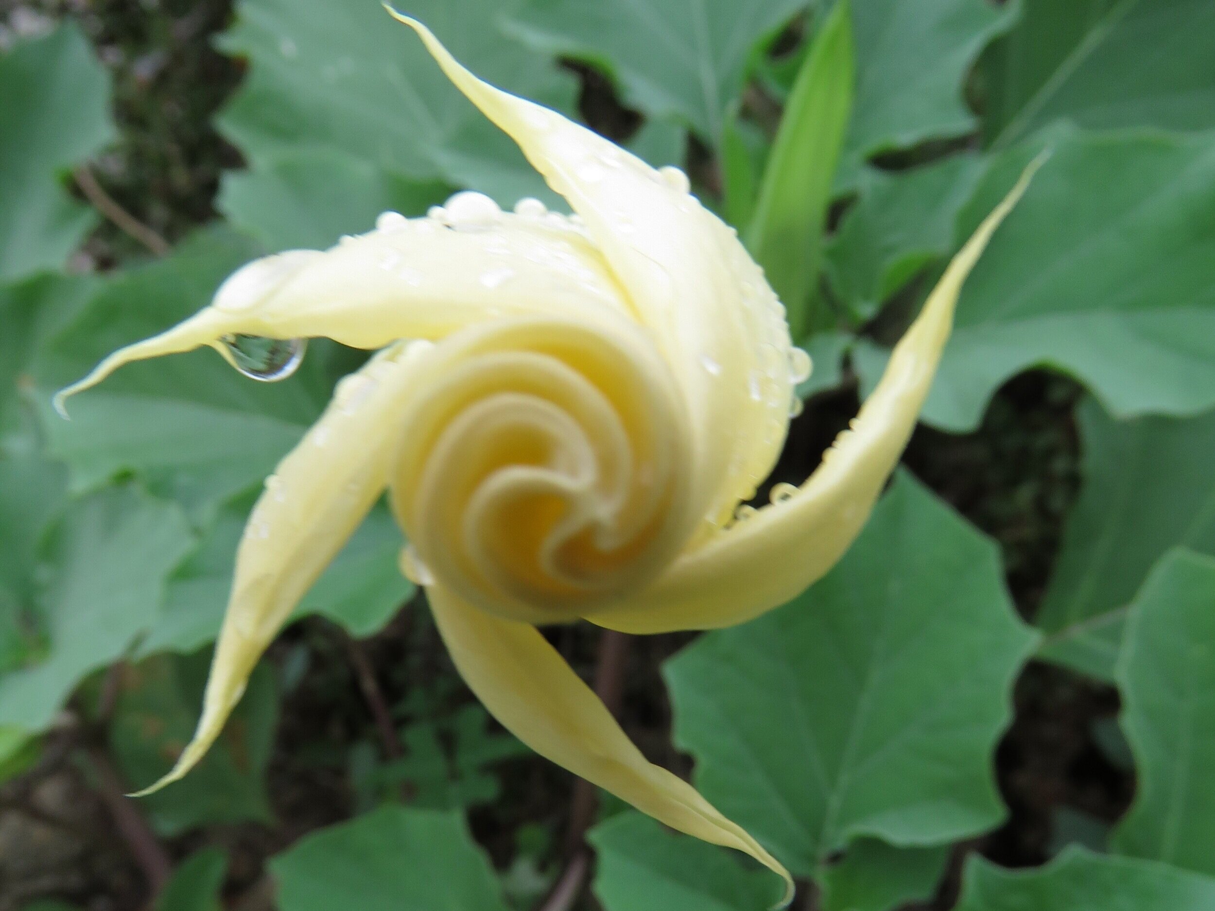
Understanding marine and terrestrial biodiversity of a region is essential to successful conservation, protection and regenerative resource use. The status and distribution of the East Cape's terrestrial biodiversity using all available databases has never been mapped. Two years ago LegacyWorks, Pronatura and members of Cabo Pulmo Vivo Coalition began to assemble the data through several workshops. After several years of research and implementation, we now have preliminary data layers integrated into one GIS system which can be used to inform and review conservation and development planning processes. Properly presented, these layers, combined with maps of water resources, the caudal ecologico (natural flows), land tenure, and human occupation and use, will aid planning authorities and real estate developers to conserve critical natural areas and processes. We also know this will only happen if citizens participate actively in these processes. Thus we seek to make this information widely known and useful to local communities by planning with community leaders and citizens groups. Our objective is to enable a terrestrial conservation plan for the East Cape and to see the data in our emerging GIS tool incorporated in the municipal, state and federal planning processes.